

Welcome to my GIS Portfolio!
I am a recent graduate from the University of West Florida with a certification in GIS. This portfolio contains examples of my cartographic work and other GIS related projects. Feel free to explore and learn more about my skills and experiences.

Austin Jennings
GIS Technician and Cartographer
850-665-0619
Email:
Location:
Fort Walton Beach, Florida
Phone:
EXPERIENCE
July 2025 - Current
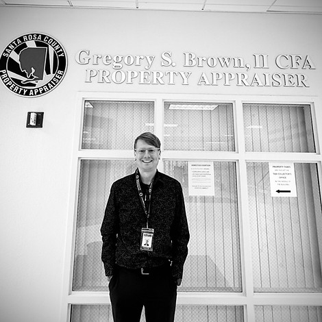
Santa Rosa County Property Appraiser's Office - Milton, Florida
GIS Intern
I serve as a GIS Intern with the Santa Rosa County Property Appraiser’s Office, supporting both day to day mapping needs and longer term data improvement projects. My duties include georeferencing historical aerial imagery, building and maintaining countywide mosaic datasets, and preparing raster data for web delivery using tools such as ArcGIS Pro, ERDAS Imagine, and GDAL. I assist with parcel fabric maintenance by helping align features, resolve topology issues, and support record driven and quality driven workflows that improve the accuracy of property boundaries. In addition to my own project work, I help the team with GIS related tasks, share the methods I develop for raster processing and georeferencing, and contribute to a more efficient, documented workflow the office can rely on going forward.
EDUCATION
2026
Bachelor of Science – Software Engineering (Planned)
Western Governors University
Planned enrollment in WGU’s B.S. Software Engineering program to expand my ability to build applications, APIs, and automation that support GIS workflows. My long-term goal is to combine geospatial expertise with cloud-hosted data systems and secure, scalable deployments.
2025
University of West Florida
Completed an intensive undergraduate GIS certificate program in 2025 at the University of West Florida (with a 4.0 GPA), taught by faculty with extensive professional GIS experience. Through courses in spatial analysis, remote sensing, cartography, geodatabases, cadastre and cadastral mapping, and scale and aggregation, I gained hands-on experience with ArcGIS Pro, ModelBuilder, ERDAS Imagine, GDAL, and Python to manage, analyze, and visualize geospatial data. The program emphasized real-world application and included a GIS internship with the Santa Rosa County Property Appraiser’s Office, where I applied these skills to projects such as georeferencing historical aerial imagery, building countywide mosaic datasets, and supporting parcel fabric maintenance.
GIS Certification
GIS EXPERTISE
Geospatial Analysis
I use ArcGIS Pro, ModelBuilder, ERDAS Imagine, and ArcPy to prepare, analyze, and visualize spatial data. My work includes raster processing, interpolation, coastal flood and storm surge modeling, and site suitability analysis that support real-world planning and environmental projects.
Cartographic Design
I have a strong background in cartographic design and visual communication, creating print and web-ready maps, StoryMaps, and 3D scenes. I focus on clear typography, thoughtful symbology, and layout that follows cartographic best practices while integrating institutional branding when needed.
Database Management
I manage file geodatabases and enterprise datasets, using domains, topology tools, and field calculations to maintain clean, consistent data. My experience includes building and organizing geodatabases, parcel and land use mapping, working with branch versioning workflows, and performing QA/QC to ensure data is reliable for analysis and decision making.
GALLERY


